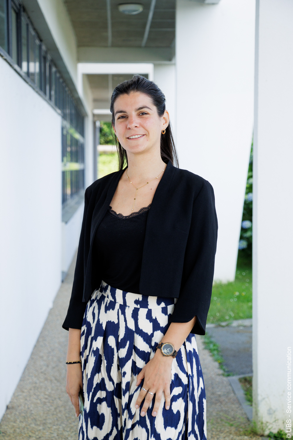
I am Charlotte Pelletier, an Associate Professor in Computer Science at Université Bretagne Sud (UBS) in Vannes, France, and a member of the Obelix team at IRISA.
My research focuses on artificial intelligence for time series analysis, with applications in remote sensing and Earth observation, and a particular emphasis on satellite image time series (SITS). I develop machine learning methods to model temporal dynamics from large-scale Earth observation data and to improve our understanding of changes occurring on the Earth’s surface.
My research initially focused on time series classification, with the development of accurate and scalable machine learning methods for satellite image time series analysis. More recently, I have been investigating adaptive learning paradigms to address the challenges of real-world Earth observation data, where observations are heterogeneous, evolving over time, and often only partially annotated. My work explores domain adaptation, continual learning, and self-supervised learning to improve the robustness and transferability of AI models across geographic regions, years, and acquisition conditions.
These methods are applied to Earth observation, focusing on land cover mapping, crop-type identification, and change detection, while also contributing to the enhancement of satellite data through super-resolution techniques.
Previously, I was a Research Fellow at Monash University in Australia (2018–2019), where I worked on scalable and accurate time series classification methods. I received my Ph.D. from Université de Toulouse in 2017 after conducting my doctoral research at CESBIO in collaboration with the French Space Agency (CNES) and the French Mapping Agency (IGN).
In 2025, I was appointed to a junior fundamental research chair at the Institut universitaire de France. I coordinate research projects on AI for Earth observation, including the ANR JCJC DECOL project on deep continual learning for satellite image time series. From 2020 to 2025, I coordinated the GeoData Science track of the Erasmus Mundus Joint Master Copernicus Master in Digital Earth (CDE) with Pr. Sébastien Lefèvre.